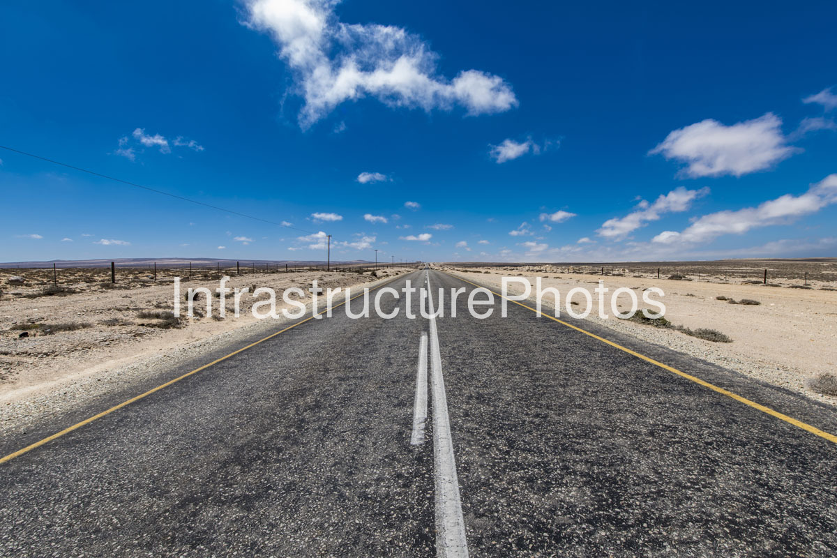
This photograph captures a long, exceptionally straight section of highway crossing the stark desert landscape of the Namakwa region of South Africa’s Northern Cape. The road dominates the composition, with its dark asphalt surface creating a powerful linear perspective that draws the eye directly towards the distant horizon. Bright yellow edge lines and a white centreline clearly define the carriageway against the surrounding pale gravel and sand, while a series of simple utility poles follows the route into the distance. Wire fencing runs parallel to the road on both sides, marking the boundary between the transport corridor and the surrounding arid landscape.
The surrounding terrain is characteristic of the dry western interior of the Northern Cape, with almost no tall vegetation visible. Instead, the landscape consists of exposed pale soil, gravel, stones and widely scattered low-growing shrubs. The extremely open terrain allows the road to become a dominant piece of infrastructure within an otherwise largely undeveloped environment. The absence of buildings, substantial trees and other major structures reinforces the enormous scale of the landscape and illustrates the importance of road infrastructure in connecting remote communities, mining areas and coastal settlements across Namaqualand and the wider Namakwa District.
Namakwa forms part of the Succulent Karoo, one of the world’s recognised biodiversity hotspots. Although the landscape can appear almost barren, it supports highly specialised vegetation adapted to arid conditions. The region is particularly renowned for its extraordinary diversity of succulents and other drought-resistant plants. In the wider Richtersveld area, coastal fog generated by the cold Atlantic Ocean and the Benguela Current can provide an important supplementary source of moisture, helping sustain vegetation despite very low rainfall.
The photograph also demonstrates the dramatic contrast between the engineered road surface and the natural environment. The highway has been constructed as a precise, level corridor through terrain that appears to extend almost uninterrupted towards the horizon. The yellow edge lines are particularly prominent against the pale desert, while the central white markings create a strong vanishing point. The visual geometry gives the photograph a sense of movement even though no vehicle is present.
The fencing visible on both sides of the road is an important feature of the rural infrastructure. Long stretches of fencing are common along South African highways, particularly through agricultural and semi-arid areas, helping define property boundaries and reduce the movement of livestock onto the roadway. Utility poles running alongside the route provide another indication of the infrastructure network supporting settlements and activities across this sparsely populated part of the country.
25 MB
Reviews
There are no reviews yet.