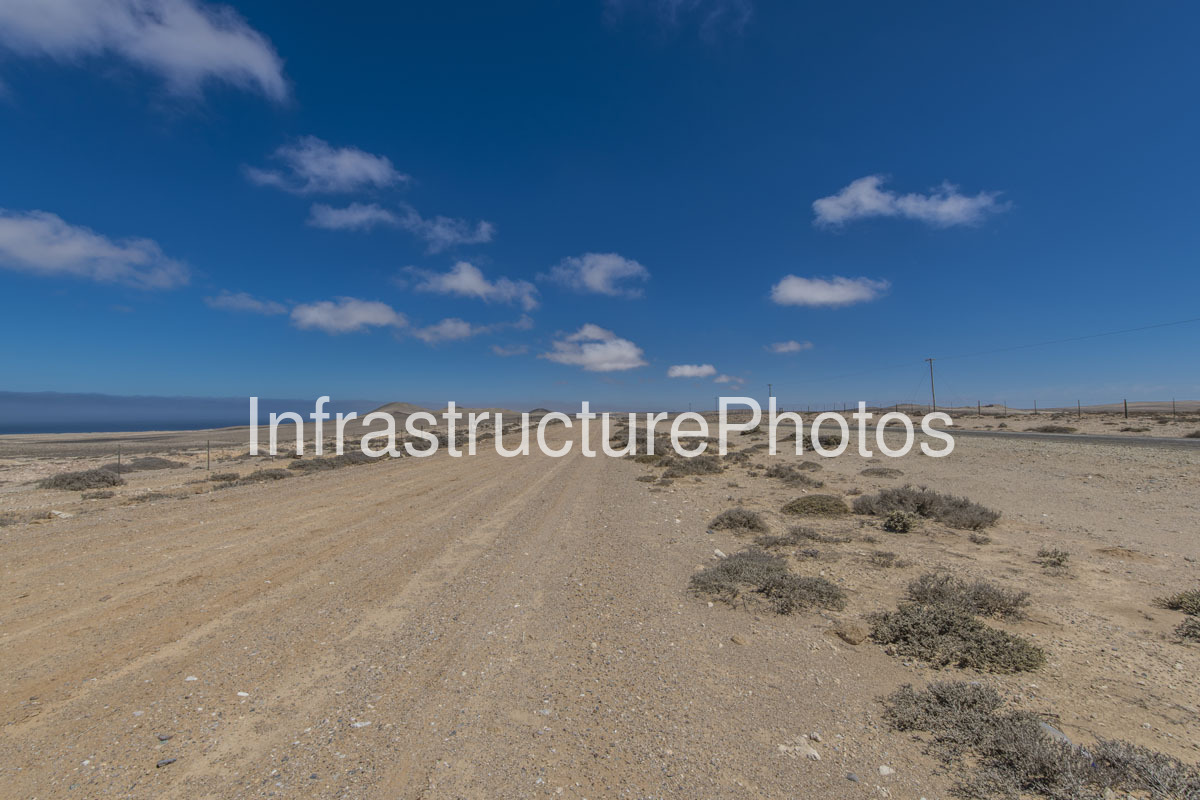
This photograph captures a remote coastal landscape in the Namakwa District of the Northern Cape, where a broad unpaved track crosses an exceptionally dry, sparsely vegetated plain. A paved road runs roughly parallel in the middle distance, accompanied by simple utility poles and fencing. Beyond the low, gravelly terrain, small rounded hills rise towards the horizon, while the deep blue of the Atlantic Ocean is visible to the west.
The scene is characteristic of the Richtersveld and Namaqualand coastal environment, one of South Africa’s most arid landscapes. The combination of pale gravel, sandy soils, low succulent and scrub vegetation and almost complete absence of buildings reflects the extreme environmental conditions of the north-western Northern Cape. The Richtersveld Municipality describes the area as a landscape of exceptional contrasts, where rainfall is minimal and water is scarce, yet the region supports distinctive vegetation and attracts visitors because of its unusual natural character.
The image is particularly interesting from an infrastructure perspective because it shows several layers of transport and utility infrastructure within an otherwise largely undeveloped landscape. The unpaved track in the foreground appears to be a local or access route rather than a major public highway, while the paved road beyond provides the principal formal transport connection through the area. Fencing follows the route, separating the road reserve and surrounding land, while wooden utility poles extend towards the horizon.
The Namakwa coastal region contains several important transport corridors connecting isolated communities, mining areas and coastal settlements. Port Nolloth, Alexander Bay, Kleinzee and Hondeklipbaai are among the principal settlements along the Northern Cape coast. The coastal corridor has historically been associated with fishing, mining and tourism, while the wider district is also strategically important for cross-border connectivity with Namibia.
The paved route visible in the photograph is consistent with the type of regional road infrastructure serving the Richtersveld coastal corridor. The R382 connects Port Nolloth with Steinkopf and also provides the road connection between Alexander Bay and Port Nolloth. SANRAL documentation identifies the Alexander Bay–Port Nolloth section as R382 Section 1, extending for approximately 87.96 kilometres, while Section 2 continues from Port Nolloth to Steinkopf for approximately 91.37 kilometres.
22 MB
Reviews
There are no reviews yet.