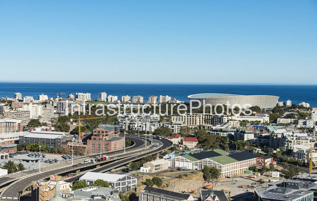
Aerial view across Green Point and De Waterkant in Cape Town, photographed in November 2016 from the vicinity of 70 Prestwich Street. The image looks towards the Atlantic Ocean and the distinctive Cape Town Stadium, with the surrounding residential, commercial and transport infrastructure of the Green Point precinct visible below.
The stadium, now known as DHL Stadium, was completed in 2009–2010 for the 2010 FIFA World Cup. Its distinctive elliptical bowl and sweeping roof structure remain one of Cape Town’s most recognisable landmarks. The stadium is surrounded by the Green Point urban precinct, including residential developments, commercial buildings and the extensive Green Point Park.
The foreground records the De Waterkant / Green Point area during a period of significant redevelopment. The former industrial and warehouse character of parts of the precinct was increasingly being replaced by residential, commercial and mixed-use developments. Greenwich Square, at 15 Bennett Street, forms part of this transformation and today provides contemporary residential accommodation within the De Waterkant precinct.
The photograph is therefore a useful historical aerial record of Cape Town’s Atlantic Seaboard before many of the more recent developments that have reshaped Green Point and De Waterkant.
19.88 MB
Reviews
There are no reviews yet.