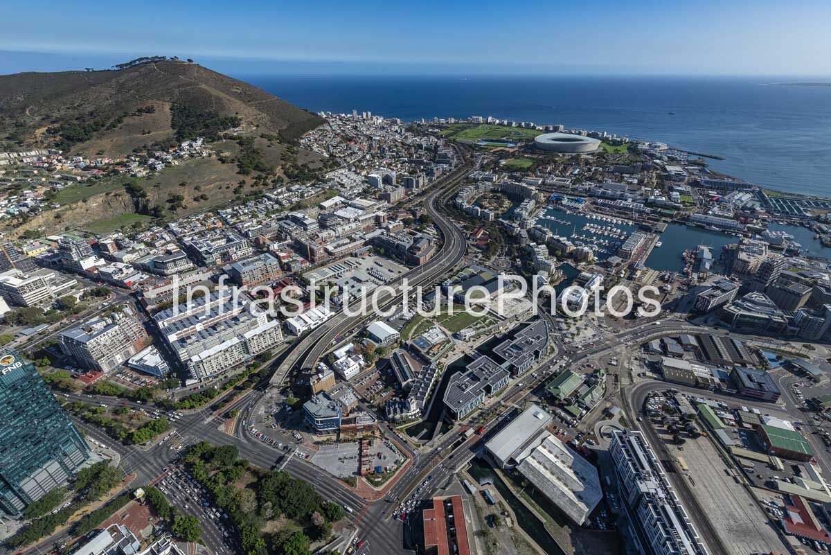
This expansive aerial photograph presents a remarkable view across Cape Town’s V&A Waterfront, working harbour, Green Point and the central city, with Table Mountain and Signal Hill forming a dramatic natural backdrop. Captured from above the Atlantic Ocean, the image clearly demonstrates how Cape Town has developed around the meeting point of mountain, coastline and harbour infrastructure. The photograph brings together historic port facilities, modern commercial architecture, residential neighbourhoods, major transport routes, marinas and coastal engineering within a single urban landscape.
The V&A Waterfront dominates the right and lower portions of the image, with its network of harbour basins, quays, marinas and mixed-use buildings clearly visible. The precinct originated from Cape Town’s historic harbour, with modern redevelopment beginning in 1988. Today, the V&A Waterfront covers approximately 123 hectares and operates as a mixed-use neighbourhood alongside an active working harbour. Its development incorporates retail, offices, hotels, residential buildings, entertainment, cultural facilities and public spaces while retaining significant maritime operations.
The harbour occupies a substantial portion of the left side of the photograph, revealing the scale of Cape Town’s maritime infrastructure. Long quays extend into Table Bay, while breakwaters and harbour walls create protected water areas for vessels and port operations. Numerous ships and smaller craft can be seen throughout the harbour. The V&A Waterfront continues to accommodate fishing vessels, commercial vessels, yachts, marine services, dry-dock facilities, yacht-building operations, a working syncrolift and the Cape Town Cruise Terminal. This combination of commercial port activity and a major urban destination is one of the defining characteristics of the waterfront.
39 MB
Reviews
There are no reviews yet.