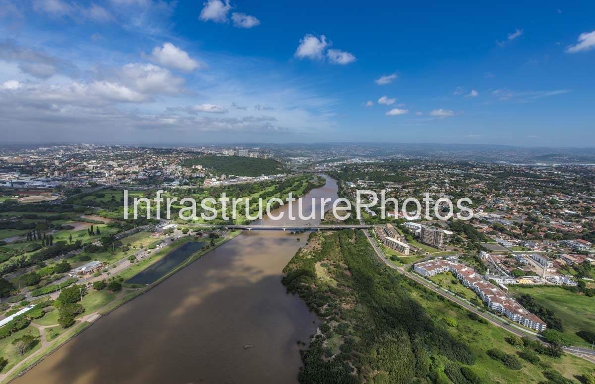
An aerial view of the uMngeni (Umgeni) River as it winds through the northern suburbs of Durban, KwaZulu-Natal. The photograph captures the broad river channel, surrounding residential areas, green open spaces and golf courses, with a road bridge crossing the river in the centre of the composition.
The uMngeni River rises in the KwaZulu-Natal Midlands and flows for approximately 232 kilometres before reaching the Indian Ocean at Durban. Its lower reaches form the Umgeni River estuary and Blue Lagoon, an important recreational and ecological area close to the Durban coastline.
The image provides a strong perspective on the relationship between Durban’s urban development and its natural river corridor. The extensive greenbelt and golf-course landscapes contrast with the dense residential development on both sides of the river, while the bridge illustrates the important transport connections across the uMngeni. The lower river and estuary also support wetland and mangrove habitats and are associated with significant recreational and sporting activities.
23 MB
Reviews
There are no reviews yet.