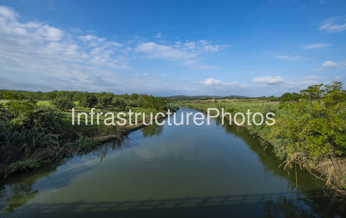
This photograph captures a tranquil river landscape in South Africa’s North West Province, showing a broad, slow-moving waterway surrounded by natural vegetation, wetlands and open agricultural land. The image provides a peaceful view of the river as it winds through the landscape, with dense reeds and grasses lining its banks and scattered trees creating a green corridor through the surrounding countryside. The combination of water, vegetation and open land illustrates the importance of perennial and seasonal river systems within the predominantly dry landscapes of the North West.
The North West Province contains several important river systems, including the Crocodile, Marico and Molopo rivers. The Marico River is particularly significant as one of the province’s perennial rivers. It originates in the dolomitic aquifer region of the North West and flows northwards before eventually joining the Crocodile River, forming the headwaters of the Limpopo River. The Marico River and its surrounding ecosystems are recognised for their ecological importance, with sections of the river classified as National Freshwater Ecosystem Priority Areas.
The riverine environment visible in the photograph demonstrates how waterways create important green corridors through the semi-arid landscapes of the province. The vegetation immediately alongside the river is considerably denser than the surrounding open countryside, reflecting the availability of water and the ecological importance of the river channel. Tall reeds and grasses occupy sections of the riverbank, while trees and shrubs provide additional habitat and help stabilise the banks. These riverine habitats support a variety of plant and animal species and form important connections between otherwise fragmented natural environments.
The landscape also reflects the relationship between water resources and agriculture in North West Province. River systems such as the Crocodile and Marico support irrigation and agricultural activities across parts of the province, while their associated wetlands, floodplains and riparian zones provide important ecological functions. The Department of Water and Sanitation identifies extensive irrigation downstream of Hartbeespoort Dam as a major land use within the Crocodile West and Marico water management area.
The composition of the photograph emphasises the natural movement of the river. The waterway narrows towards the horizon, creating a strong leading line through the centre of the image and drawing the viewer’s eye towards the distant landscape. Low hills and vegetation form a subtle horizon beneath a broad blue sky, while reflections of the surrounding vegetation are visible across the relatively calm water surface. The absence of significant built infrastructure reinforces the rural and natural character of the scene.
This image provides a valuable photographic record of the North West’s freshwater landscapes, documenting the contrast between the province’s generally dry climate and the lush vegetation that can develop along permanent waterways. It also demonstrates the visual importance of rivers as landscape features, ecological corridors and sources of water within South Africa’s interior.
30.91 MB
Reviews
There are no reviews yet.