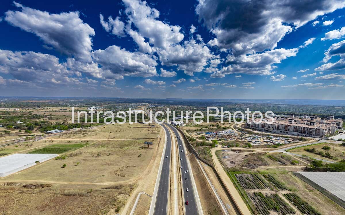
This aerial photograph captures Winnie Mandela Drive (K46) in the northern Johannesburg region, looking along the major north–south arterial through the Fourways and Diepsloot area. The upgraded dual carriageway is the dominant feature, surrounded by a rapidly changing landscape of residential developments, commercial buildings, open land and agricultural properties.
Winnie Mandela Drive is a significant Gauteng transport corridor connecting the N1 and N14 highways and improving movement between Fourways, Diepsloot, Sandton and Pretoria. The comprehensive upgrade covered approximately 7 kilometres, with the project designed to increase road capacity and improve traffic flow through the rapidly developing northern Johannesburg region.
The road upgrade has also supported continued development along the corridor, including new mixed-use development associated with Steyn City and surrounding areas. The photograph provides a useful record of the transition from predominantly open and agricultural land towards a more intensively developed urban environment.
39.49 MB
Reviews
There are no reviews yet.