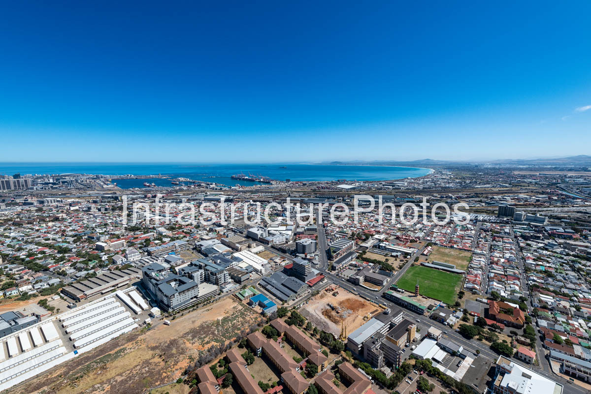
Aerial photograph looking north from 358 Victoria Road in Salt River, Cape Town, across the dense urban landscape of Salt River and Woodstock towards Cape Town Harbour and Table Bay. The photograph captures the extensive port infrastructure, industrial areas, residential neighbourhoods and major transport corridors that occupy the land between the inner city and the Atlantic Ocean.
In the middle distance, the extensive Port of Cape Town stretches along the shoreline, with container terminals, warehouses, cranes, berths and harbour basins clearly visible. Beyond the port, Table Bay opens towards the Atlantic Ocean, with the northern Cape Town coastline extending towards Milnerton and the surrounding coastal plain.
The photograph was taken from 358 Victoria, a major A-grade commercial development on Victoria Road in Salt River. The development occupies the former site of the House of Monatic textile factory and was designed by Jacobs Parker Architecture for Swish Property Group. Phase 1 comprises approximately 18,000 m² of office space and was completed in January 2022. The development was designed to take advantage of views towards Table Mountain and Cape Town Harbour.
38 MB
Reviews
There are no reviews yet.