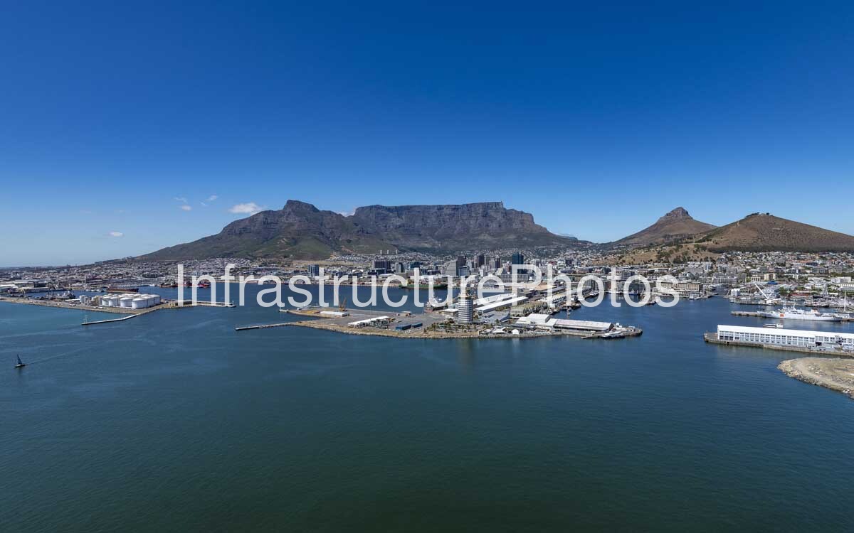
This sweeping aerial photograph captures the Port of Cape Town, looking across the harbour towards Duncan Dock, the Cape Town city centre and the iconic Table Mountain. The image provides a broad view of the port’s maritime infrastructure, including cargo berths, warehouses, fuel-storage facilities, breakwaters and the extensive waterfront of the working harbour.
Duncan Dock forms one of the principal operating areas of the Port of Cape Town. Construction began in 1938 and the dock was completed in 1945, creating a much larger deep-water harbour capable of accommodating larger vessels. The project also involved extensive land reclamation, contributing significantly to the creation of Cape Town’s modern Foreshore. Today, Duncan Dock accommodates multi-purpose and fruit terminals, ship-repair facilities, a tanker basin and other maritime operations.
The photograph also shows the close relationship between the port and Cape Town’s urban landscape. The Port Control Building, located on the South Arm, is visible within the harbour complex, while the container-handling facilities of Ben Schoeman Dock can be seen further east. Beyond the port, the dense Cape Town cityscape rises towards Table Mountain, Devil’s Peak and Signal Hill, creating one of South Africa’s most recognisable combinations of maritime infrastructure, urban development and natural landscape.
38 MB
Reviews
There are no reviews yet.