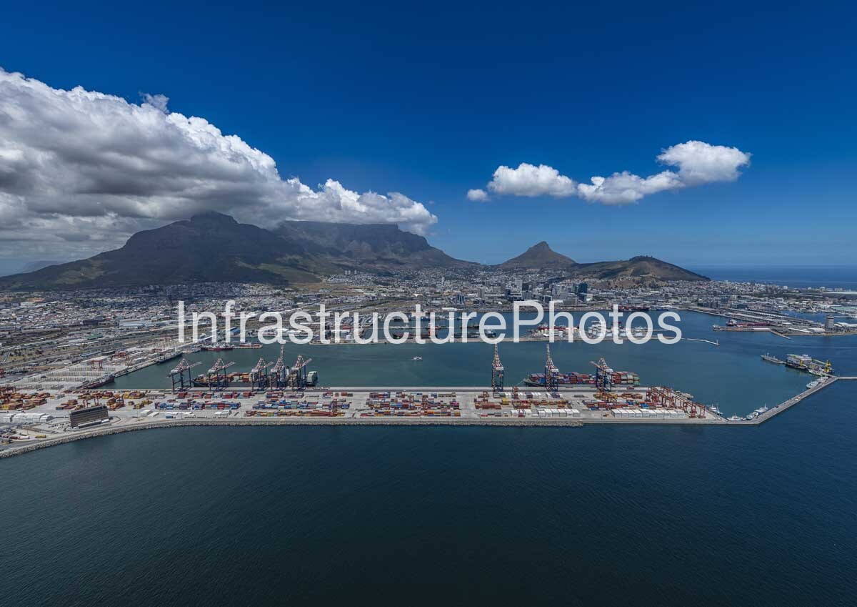
This aerial photograph presents a wide view across the Port of Cape Town, with the Cape Town Container Terminal (CTCT) occupying the foreground and the city’s dramatic mountain backdrop beyond. The container terminal stretches across the centre of the image, with rows of ship-to-shore gantry cranes, container stacks, quay infrastructure and vessels visible within Ben Schoeman Dock. Table Mountain dominates the skyline, with Signal Hill and Lion’s Head visible further to the right.
The Cape Town Container Terminal began operations in 1977 and is one of the principal container gateways serving the Western Cape. Transnet describes the terminal as being particularly important for containerised agricultural exports, including deciduous fruit, perishables and frozen products. The terminal is connected to its hinterland through extensive road and rail infrastructure and has undergone major investment to increase capacity and accommodate larger vessels.
The photograph also captures the scale of the wider port complex. Behind the container terminal are additional cargo berths, marine facilities and the industrial waterfront, while the dense Cape Town urban area rises towards Table Mountain. The port itself covers approximately 9,163 hectares of water area, includes 42 berths and has around 178 km of rail track, illustrating the extensive transport infrastructure concentrated within the harbour.
31 MB
Reviews
There are no reviews yet.